Shing Mun Country Park: Paperbark Tree
Forest and Reservoir landscape
| The Shing Mun Country Park
(established 24 June 1977) is a country park of Hong Kong,
located in the central New Territories, it covers a total of
14 square kilometres (5.4 sq mi). It extends from Lead Mine
Pass in the north, to the Shing Mun catchwater road in the
south, and from Tai Mo Shan in the west to Grassy Hill and
Needle Hill in the east. This time we visit Paperbark Tree
Forest and Shing Mun Reservoir are in Shing Mun Country
Park. |

Transportation Information:
Walk
from MTR Tsuen Wan Station to Chung On Street, transfer to
minibus No. 82, and get off at the terminal Shing Mun
Country Park. |


| Terminal: Shing Mun Country Park |

| Start from the side stairs. |

|
Enter the Pineapple Dam Nature Education Trail. This nature
education trail is located next to the Shing Mun Reservoir.
Long before the government built the Shing Mun Reservoir,
the surrounding area was rich in pineapples, so after the
completion of the reservoir, it was called "Pineapple Dam"
by the Hakka villagers at the time. |

| Go straight up the steps. |


| The initial part is mostly dirt
road, but the road condition is flat. |

| The Reservoir is emerging. |


| There will be picnic sites for rest
along the way. |


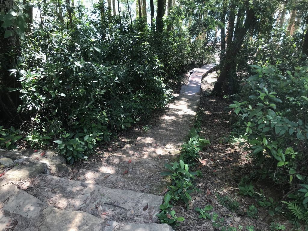
| The second half of the Pineapple
Dam Nature Education Trail is mostly this kind of forest
trail. |


| After the Pineapple Dam Nature
Education Trail is completed, continue along the road. |


| There will be some monkeys along
the way, remember not to tease him, put food in your
backpack as much as possible. |


| This picnic site has been occupied
by cattle. |


| Paperbark Tree Forest Trail, this
is the first check-in point of this trip, both sides of the
road are planted with Paperbark Tree. |

| After leaving Paperbark Tree Forest
Trail, pay attention to the right hand side, turn a turn and
you will reach the pondside. |

| Go down this staircase to the
Paperbark Tree pondside. |

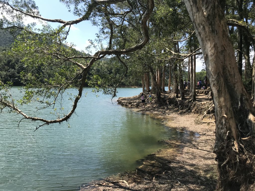
| Paperbark Tree pondside – This is
the second check-in point. The scenery is pleasant and many
people will take wedding photos here. |


| If the water level is high, there
will be a flooded landscape of Paperbark Tree. |

| After leaving Paperbark Tree
pondside, you will pass a large green area, where the
original site is Cheung Uk Village. |


|
There were once eight Hakka villages in the Shing Mun
valley. Before the construction of the reservoir, the
inhabitants were resettled in other areas such as Kam Tin
and Yue Kok. During dry season, when the water is low, the
ruins of the villages resurface and one may walk along the
shore to visit the past. |


| Keep going. When you pass picnic
site No.12, pay attention to the entrance on the right. |

| Entrance to the pondside of No.12
Picnic Site. |


| The third check-in point, the
pondside of No.12 Picnic Site. |


| If the water level is high, he
pondside of No.12 Picnic Site may be submerged. |
All three check-in points
have been completed. You can return to the minibus station
on the same route, or you can choose to continue walking to
complete a circle around the Shing Mun Reservoir.
See you
next time!
CCT - MAX 27/08/2020 |
|


