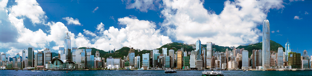
Top of Hong Kong: Tai Mo Shan
Rising 957 metres above sea
level, Tai Mo Shan is Hong Kong’s highest peak and is
visible from many parts of the city. Despite its elevation,
Tai Mo Shan is accessible by foot, with several hiking
trails meandering around the summit. This time we chose the
easiest route to climb Tai Mo Shan.
Transportation Information:
MTR Tsuen Wan Station -> BUS
No.51 -> Tai Mo Shan Country |
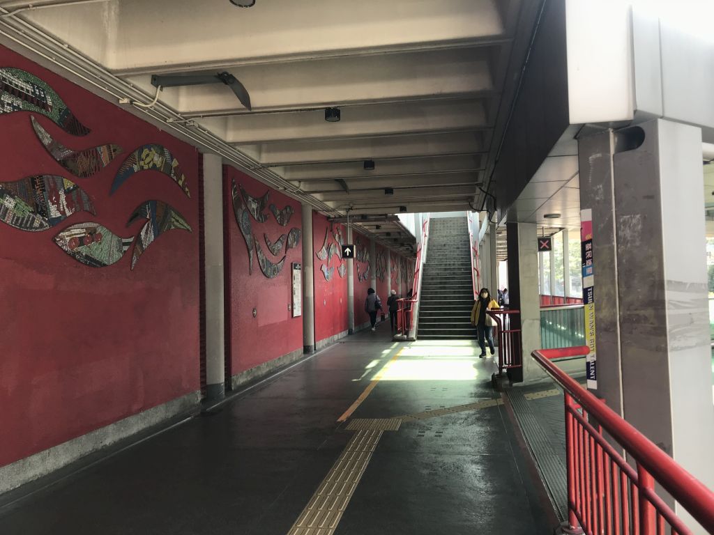
| After exiting from Exit A of MTR
Tsuen Wan Station, go straight up the stairs on the left.
Bus stop No. 51 is located above the flyover. |
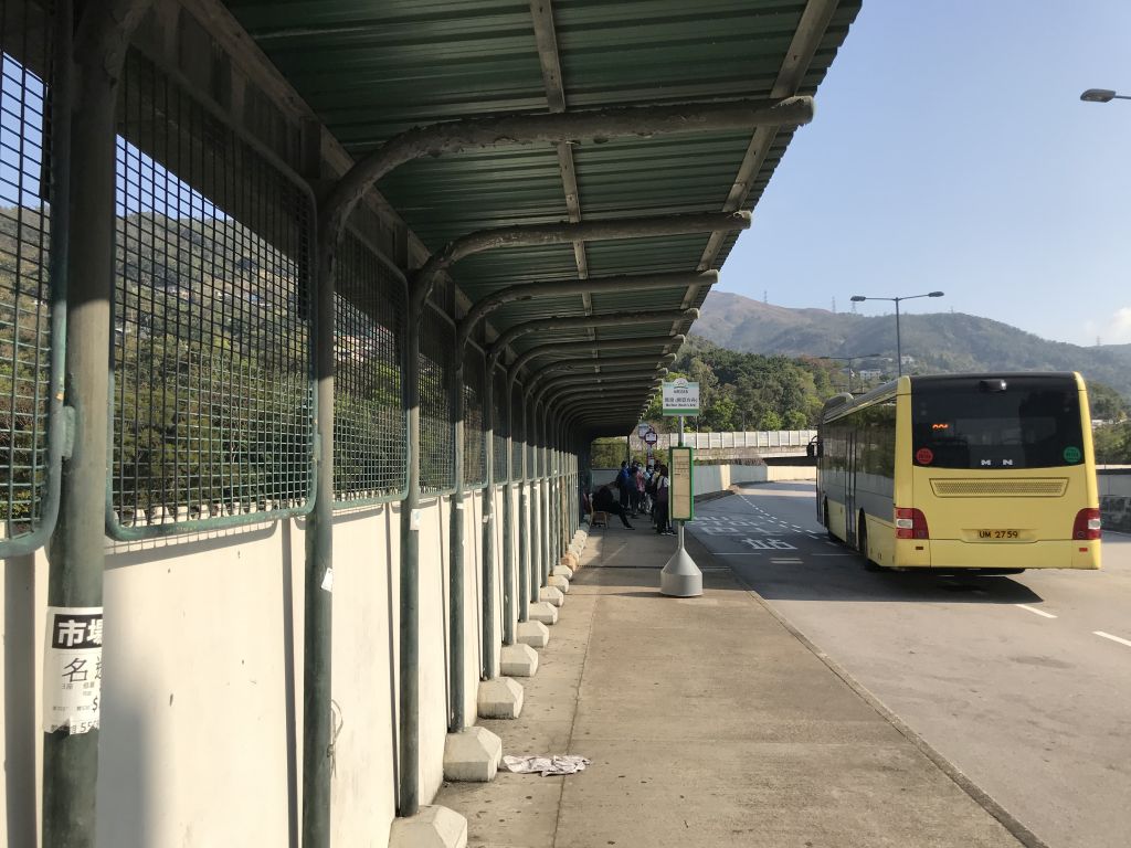
| In front is the bus stop station
No. 51. Bus No. 51 runs sparsely on weekdays. Sometimes it
runs every half an hour, and sometimes it runs every hour.
Remember to check the bus schedule in advance before
departure. |
| Get off at Tai Mo Shan Country Park
Station and walk in the opposite direction. |
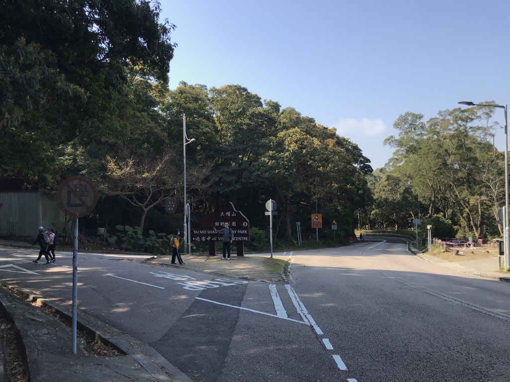
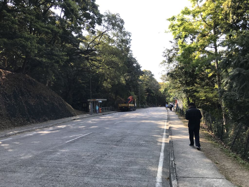
| Walk for about 2 minutes and you
will reach the bifurcation road. |

| Depart in the direction of the Tai
Mo Shan Country Park Visitor Center. |
| The route we chose this time is the
easiest route. All are made of cement roads and the slope is
relatively gentle. But it is also a traffic lane, so you
need to pay attention cars. |
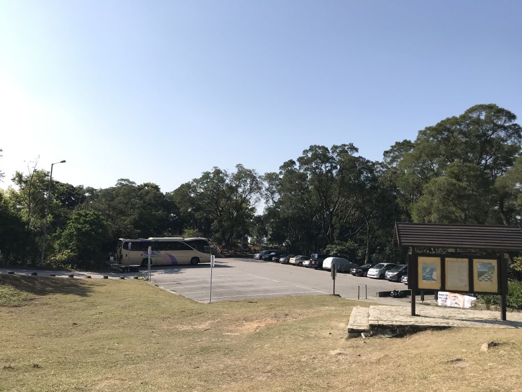
| Walk up for a few minutes to reach
this parking lot, cars can park here. |
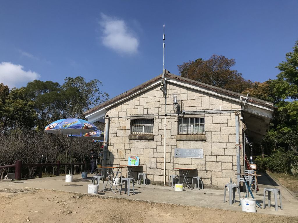
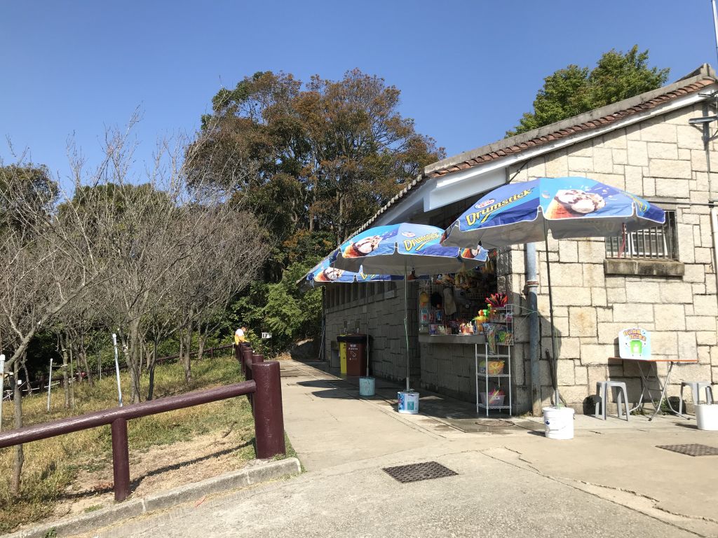
| There are snack kiosk and toilet
next to the parking lot. There is only one supply station
for the snack kiosk for this trip. |
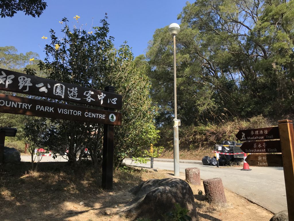
| Visitor center of Tai Mo Shan
Country Park. There are two roads up to the mountainside of
Tai Mo Shan, one is the MacLehose Trail, which has more
steps and mountain roads; the other is to go up the Tai Mo
Shan Road, the whole way is a cement road. Since we chose
the easiest route this time, we will continue to walk up Tai
Mo Shan Road. |
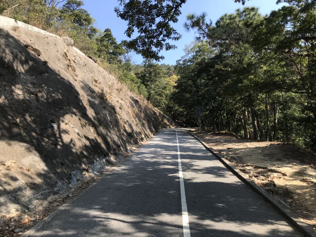
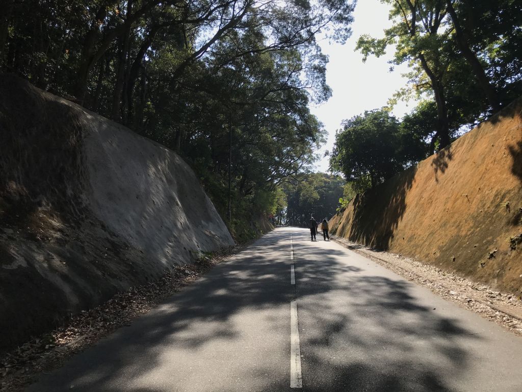
| The front section of Tai Mo Shan
Road has a gentle slope with shade. |
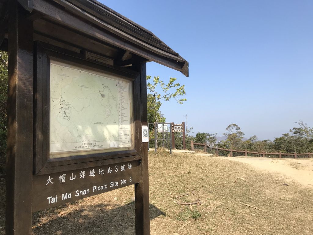
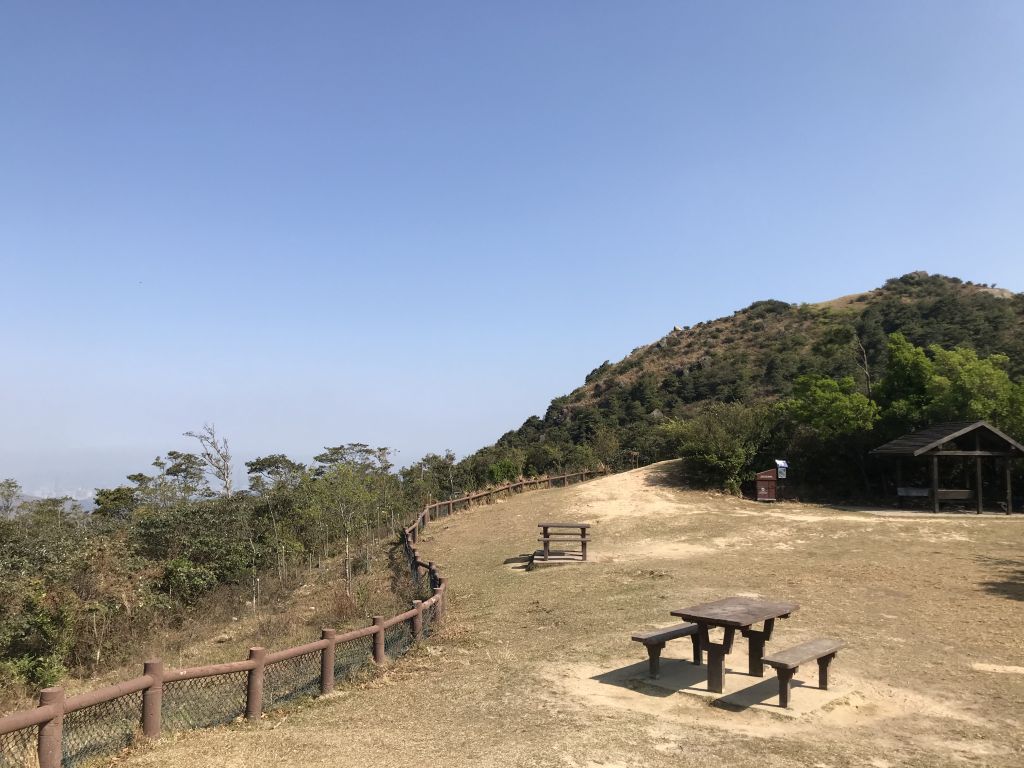
| Came to Tai Mo Shan picnic site No.
3, if you chose the MacLehose Trail at the beginning, you
will eventually arrive at No. 3. |
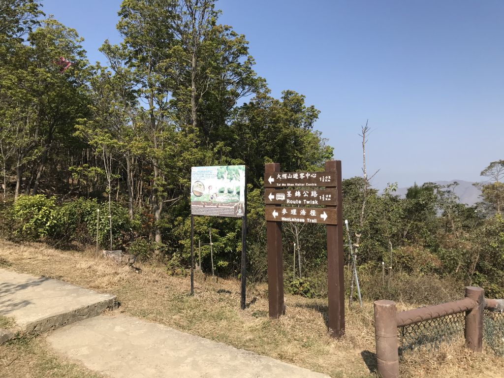
| This is the exit of MacLehose
Trail. |
| The viewing location here is
blocked by trees, but don't worry, you can walk up a little
bit and reach the viewing platform, it will be surprised. |
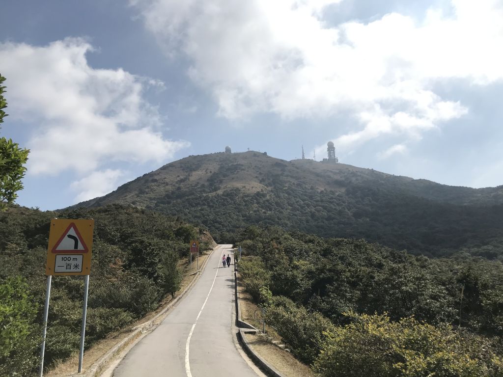
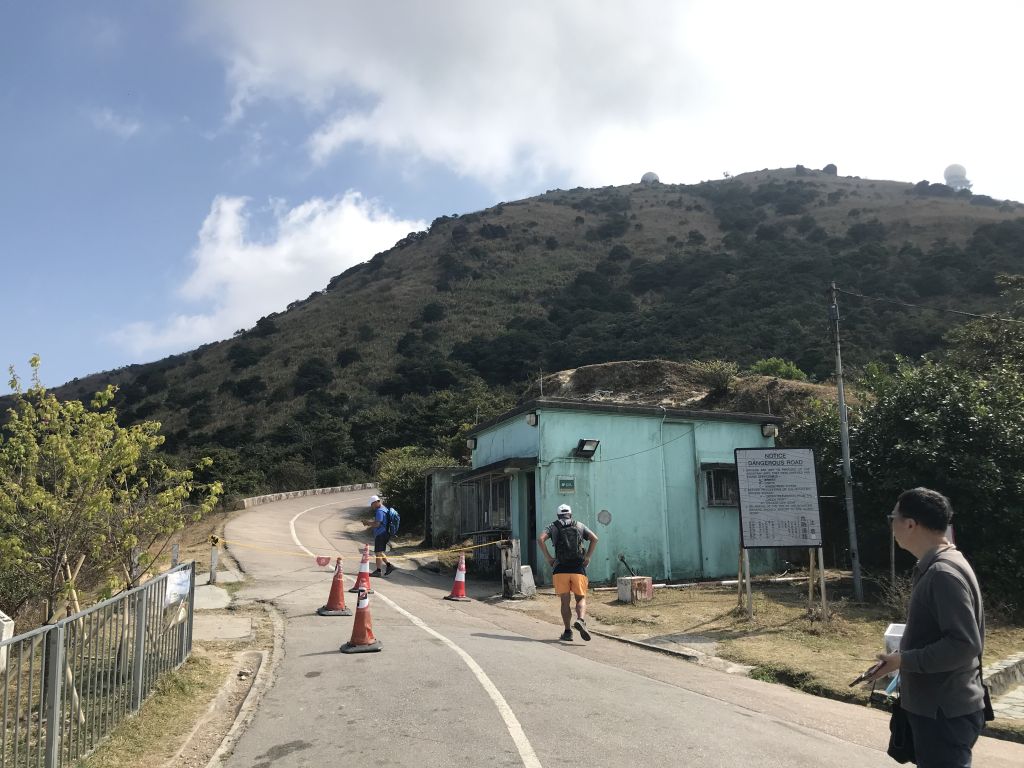
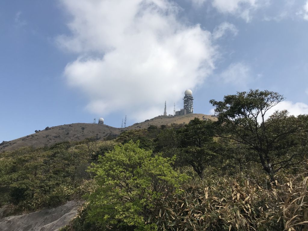
| The location of the two spherical
buildings is the end of this trip to Tai Mo Shan. It seems
that there is still a long way to go. |
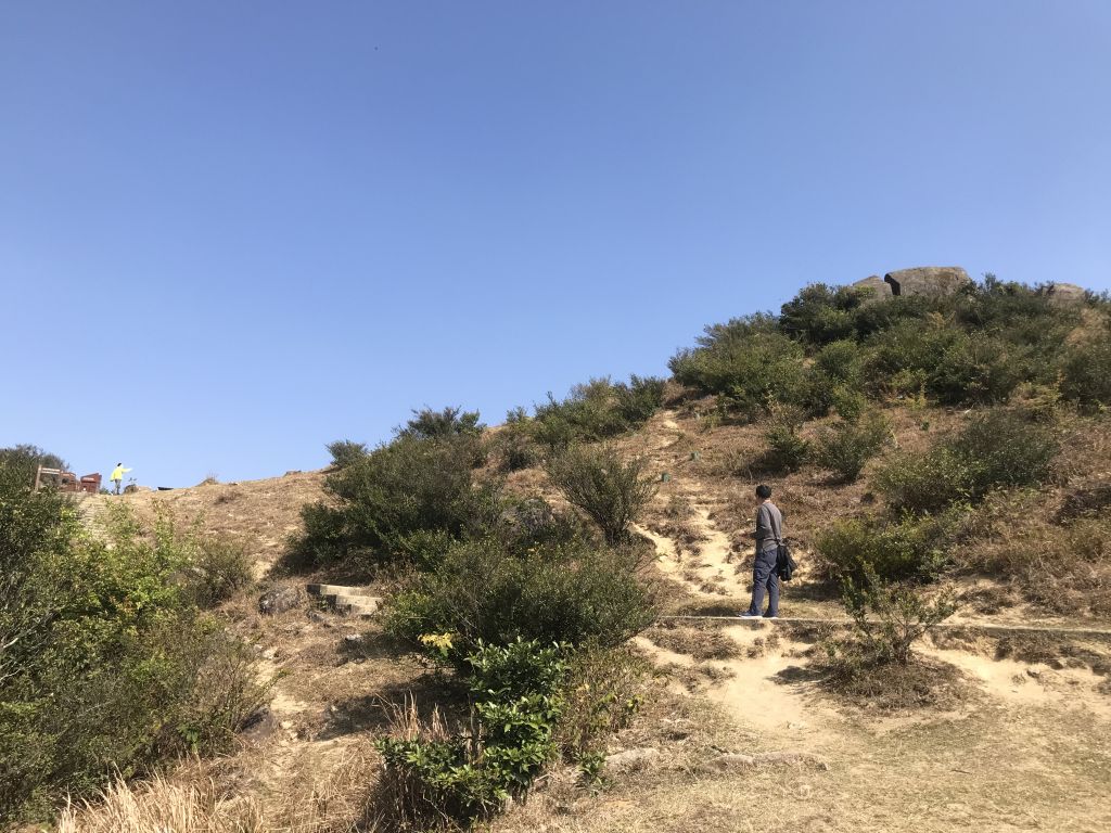
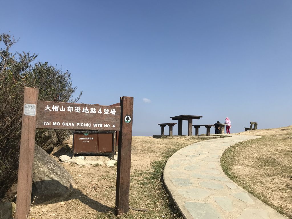
| When you come to a small hill, you
can go straight up to Tai Mo Shan picnic site No. 4, which
is also the location of the observation deck. |
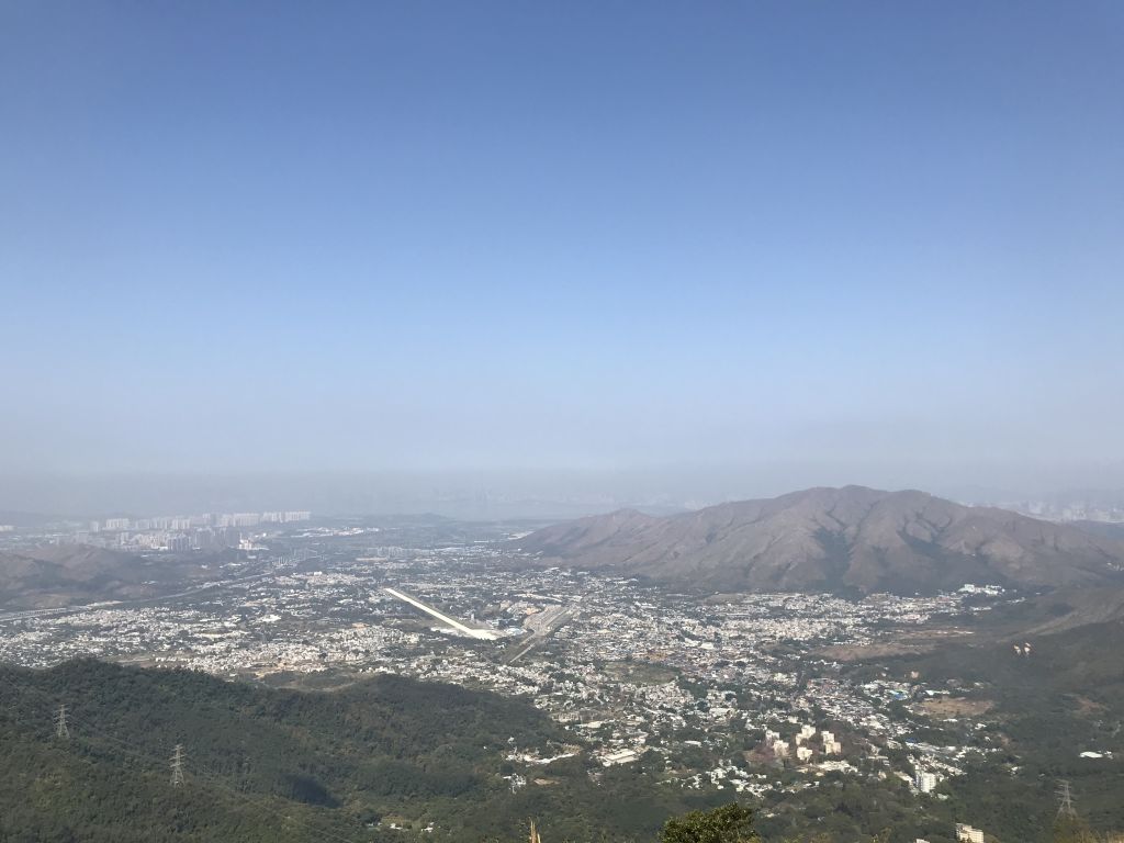
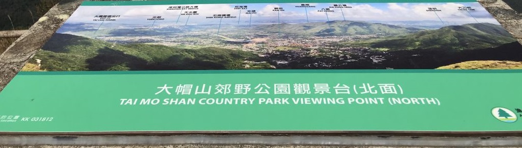
| Observation deck. It overlooks Yuen
Long, Kam Tin, Pat Heung, and even farther away you can see
Shenzhen, which is very spectacular. |
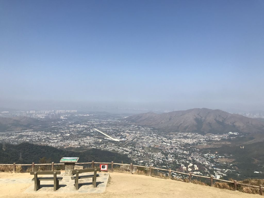
| This is one of the popular hot
point in Tai Mo Shan. |
| From here, unauthorized vehicles
are prohibited entering. |
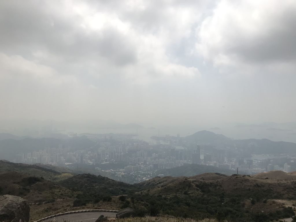
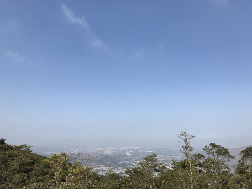
| In the direction of Tsuen Wan and
Tsing Yi, there was haze in this direction that day. |
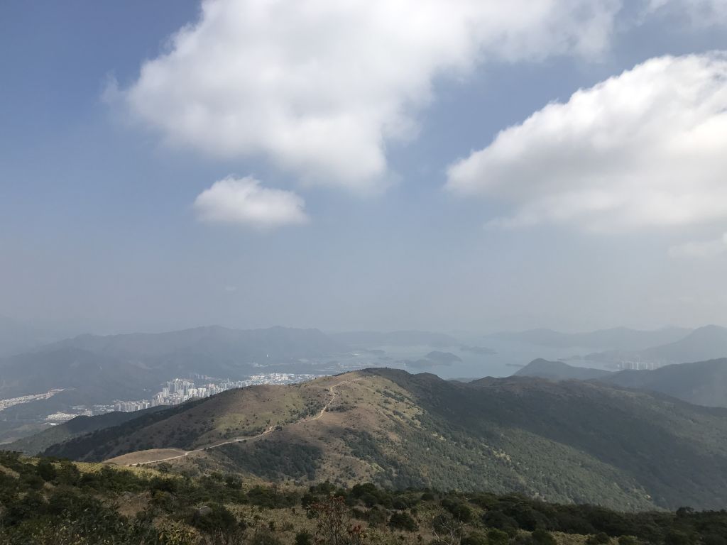
| The direction
of Tai Po is clearer. |
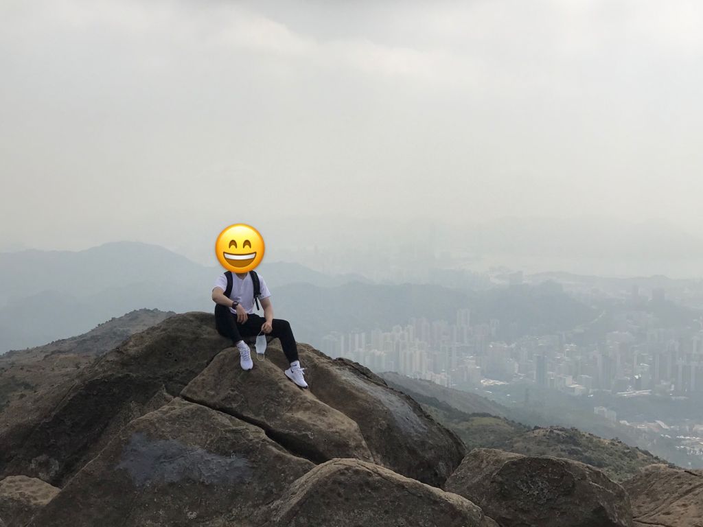
| The big rock on the way is also one
of the most popular places to take picture. |
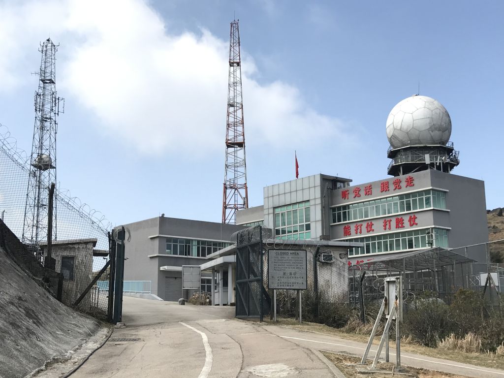
Weather radar station, the
end of this trip to Tai Mo Shan, and then return to the same
way.
Starting
from Tai Mo Shan Country Park Station, it takes about two
and a half hours to arrive at the weather radar station
(including rest and taking pictures).
Hope
that next time we can try other routes to climb Tai Mo Shan.
CCT-MAX
25/02/2021 |
|