Cape Collinson Battery
Located at Cape Collinson, in
the eastern district of Hong Kong Island, it was built in
1938 by the British troops stationed in Hong Kong to
strengthen the defense of the eastern coast of Hong Kong
Island. The fort was abandoned after World War II, and only
some of the buildings remain today. Because of its beautiful
scenery and built by the sea, it has been discovered by more
and more mountain hikers and tourists, and it has become a
hot check-point.
Transportation Information:
Take buses to Siu Sai Wan (Island
Resort) Public Transport Terminus. |

| The Siu Sai Wan Public
Transport Terminus is located by the sea. |


| After coming out, walk along
the coast (the sea is on the left when walking). |

| After seeing the court, turn
to the arrow to indicate the direction. |

| Behind the stadium is the
starting point of the outing route, and there are also
toilets next to it. |

| After going straight up the stairs,
you will find that there are two roads. In fact, you can
walk on both sides, and they will eventually meet at the
same place. This time we choose the road on the right
because it will be shorter than the road on the left. |

| There are wild boars nearby. Do not
provoke or feed wild boars. |

| The initial section is a flight of
stairs, but the steps are not high and easy to walk. |


| There are some rest areas along the
way. |

| It takes about ten minutes to
complete the first section of the road, and then connect to
the Lung Yeuk Trail. |


| Lung Yeuk Trail has a certain
slope. |

| Later, you will find a blue
railing on the left side of Lung Yeuk. |

| Go straight up the stairs. |

| You can walk on both sides
here. |

| This road connects to Cape
Collinson Road, follow the downhill direction (i.e. to the
left). |


| All the way down the Cape Collinson
Road. |

| Behind this building, there is a
path leading to the abandoned power station during World War
II. |

| Go to the power station in the
direction indicated by the arrow. I didn't enter this trail
that day because there were many branches and weeds. |

| The power station during World War
II provided power to the spotlights at Cape Collinson.
(Image source: 一起行山闖蕩去 ) |


| Continue to walk down to the
position of the retaining wall. Note that there is a trail
outside the railing on the opposite side of the retaining
wall. |

| Over the railing, the trail is
clearly visible. |


| The first section of the road is
relatively sloping and dirt road, so you need to be more
careful. |


| Slowly it has been turned into a
concrete road with a wide view. |


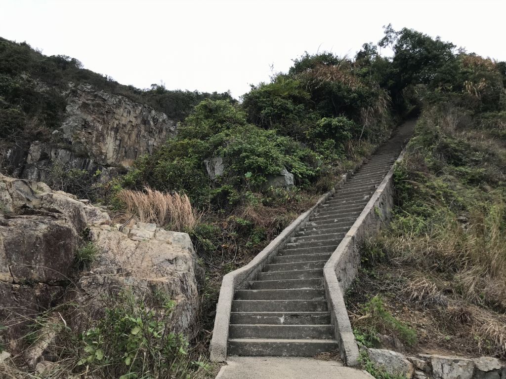
| After seeing the long stone ladder,
it shows that we have almost arrived at the fort! |

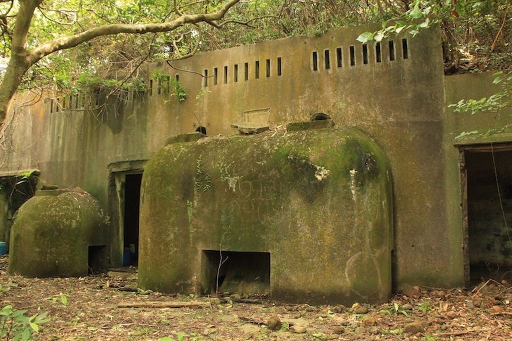
| The stone house in front of you is
the former site of the Cape Collinson Battery. There were
originally one on the left and one on the right, but in
2018, Typhoon 山竹 flattened the fort on the left, and now
only the one on the right. |


| The only one fort was severely
damaged under the typhoon, but it was still a hot
check-point. |

| As shown in the picture, people
like to take pictures from the inside of the fort. |

| The picture presented is like
a four-corner screen, which people call the "Big TV". |

I also follow the trend and
take a picture on the "Big TV" to end this trip.
The
weather is cloudy today, and the beauty of Cape Collinson is
not shown. I look forward to taking pictures under the blue
sky and white clouds next time.
CCT-MAX
10/03/2021 |
|


