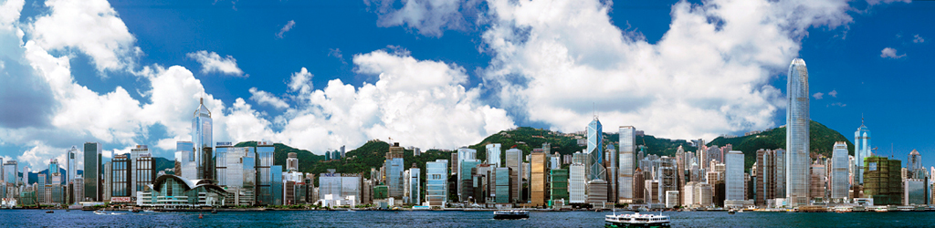
Tsing Yi Nature Trail
Tsing Yi Nature Trail
(Chinese: 青衣自然徑 ), also known as Kwai Tsing Reunification
Health Trail is a hiking trail on Tsing Yi Island, New
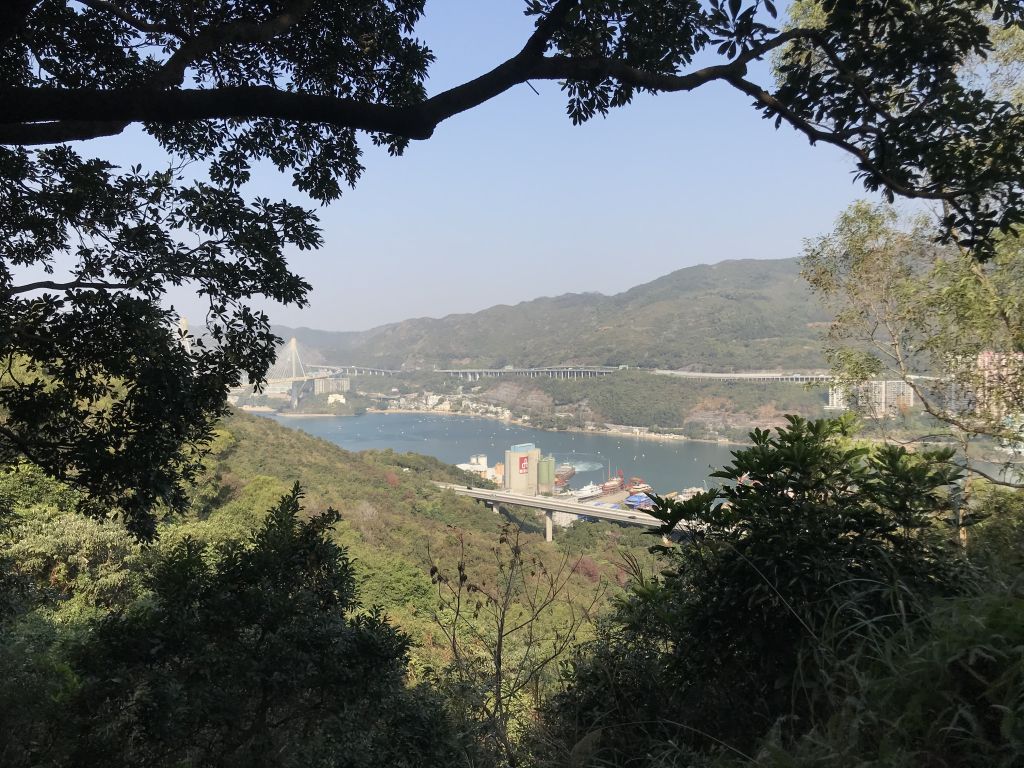
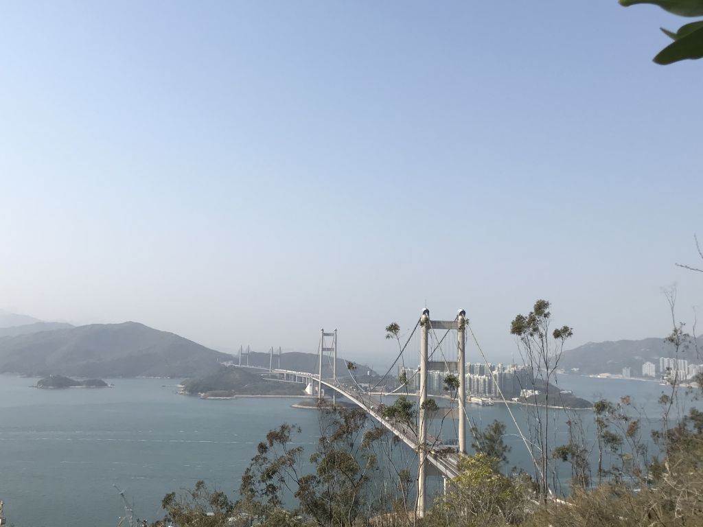
Territories, Hong Kong. At the highest point, it has a view
of Rambler Channel and Ma Wan Channel, with Ting Kau Bridge
and Tsing Ma Bridge spanning over.
Getting
to Tsing Yi Nature Trail:
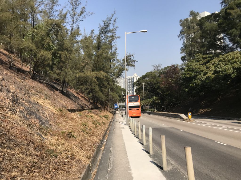
From MTR Tsing Yi Station Exit
A1, take bus 248M to the last stop at Cheung Wang Estate.
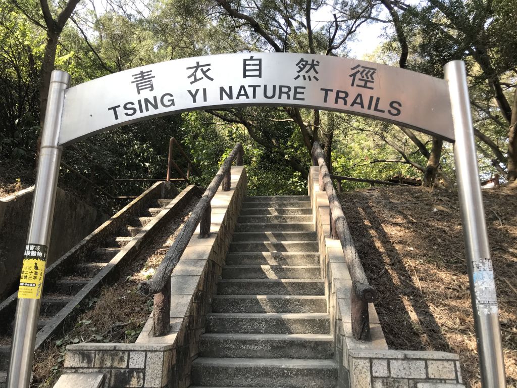
Alight the bus and walk up Liu To Road to find the north
entrance of the Tsing Yi Nature Trails on the right. |
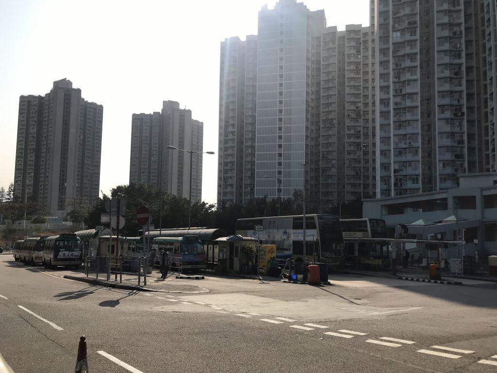
| Cheung Wang Estate bus stop |
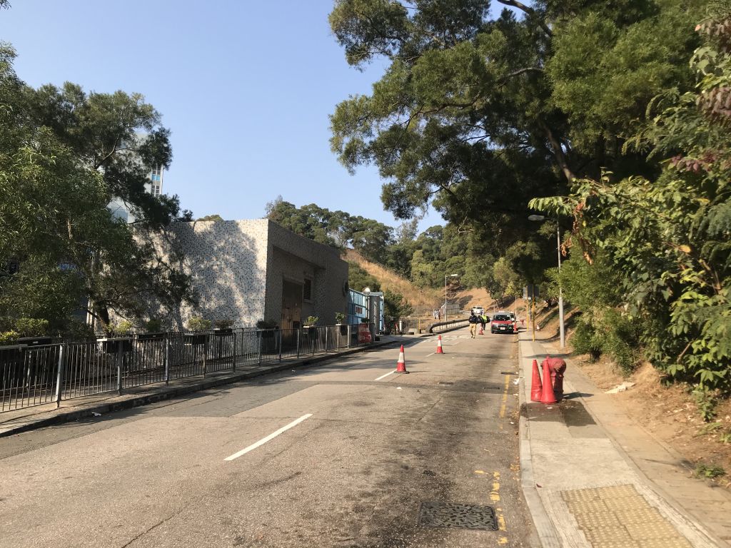
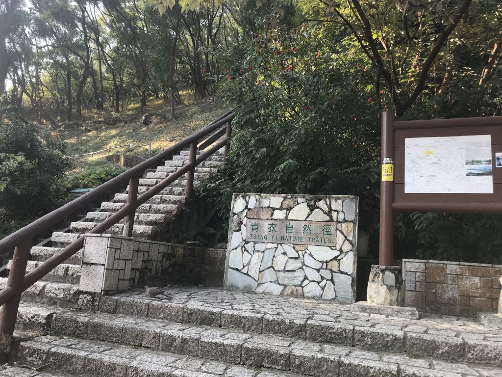
| You can find the north entrance of
the Tsing Yi Nature Trail on the right. |
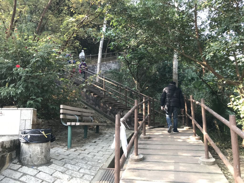
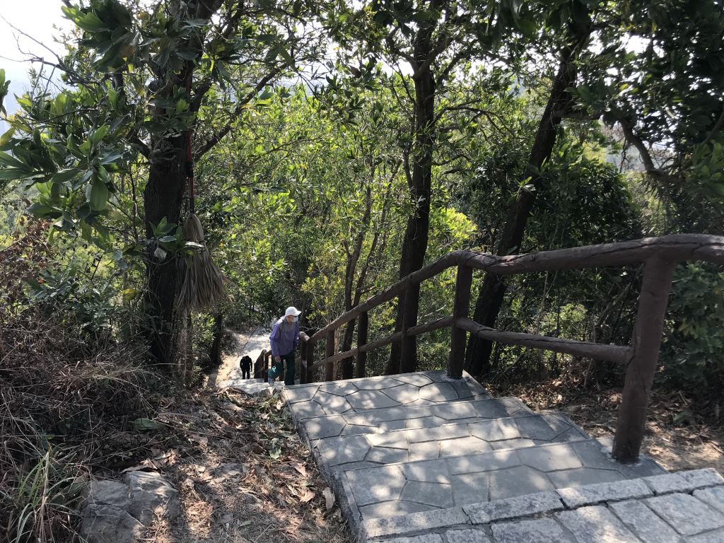
| Climb the stone steps to start the
journey of Tsing Yi Nature Trail. |
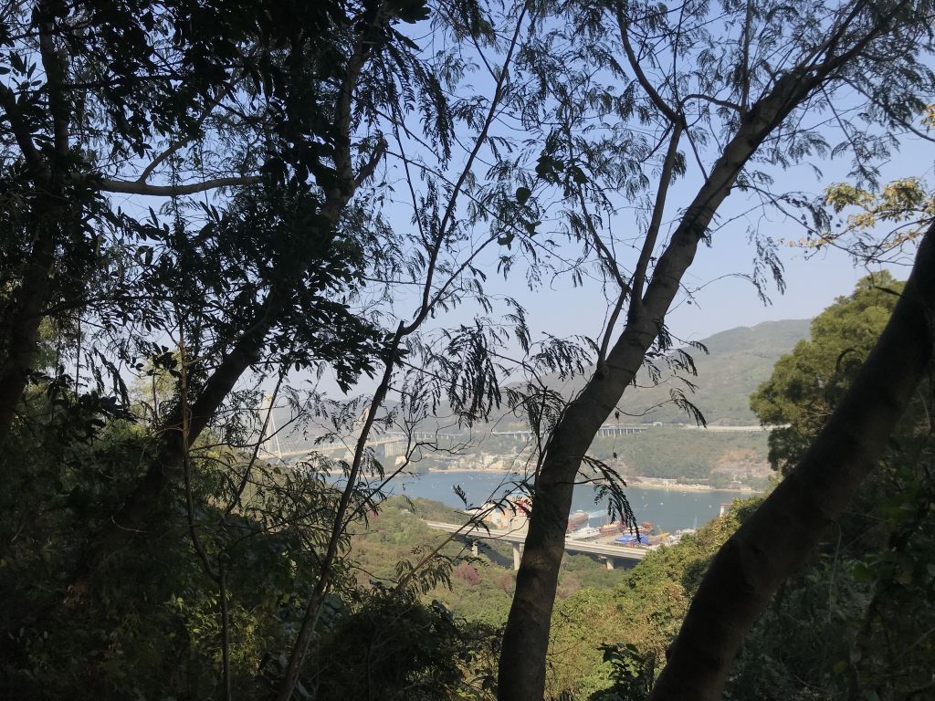
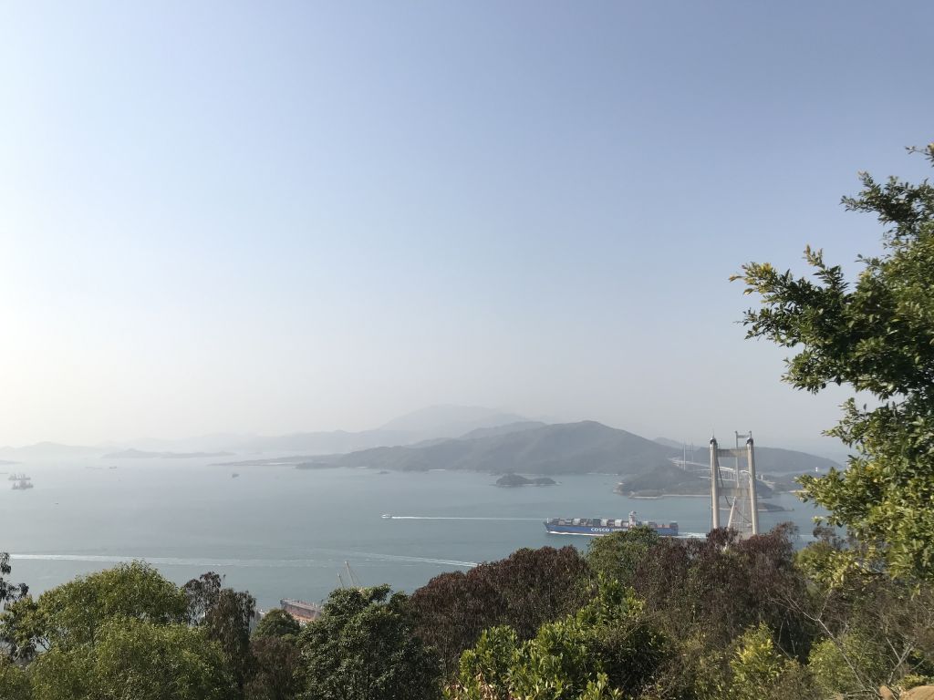
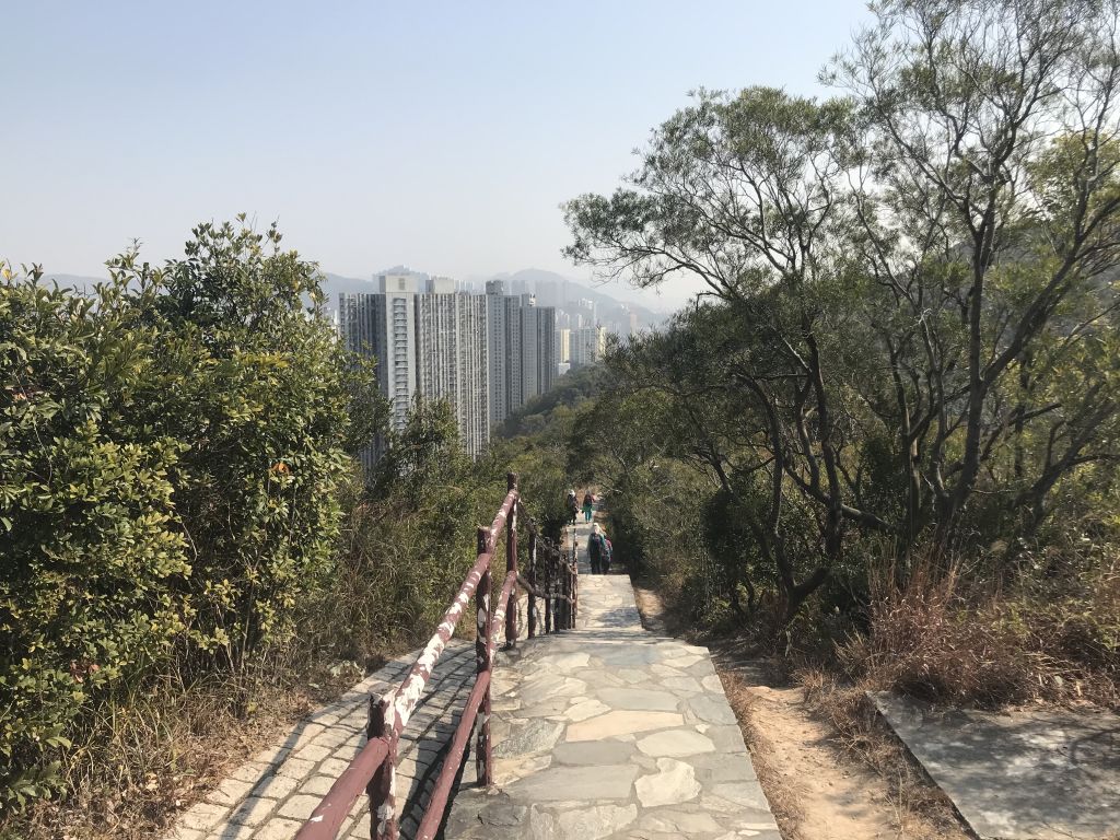
| Just going up the stone steps, you
can overlook the Ting Kau Bridge. |
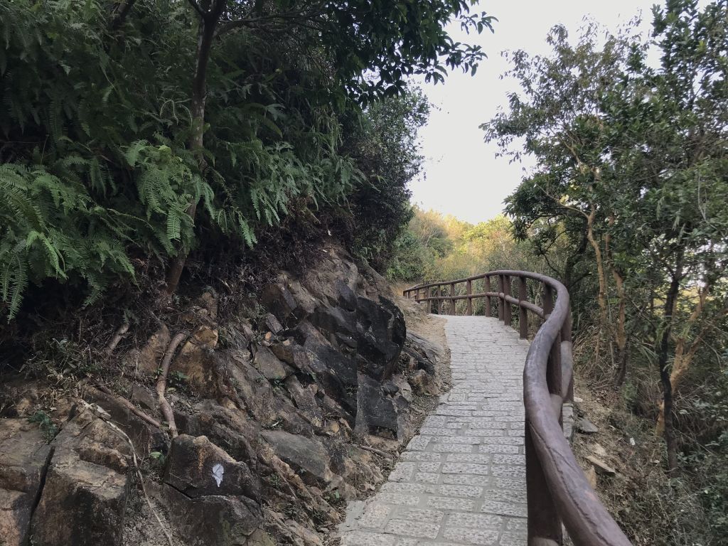
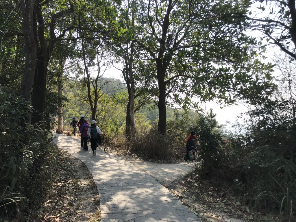
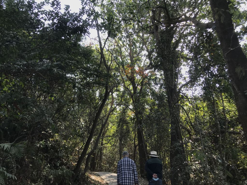
| Most of the trails along the way
are made of cement and stone, with railings beside them. |
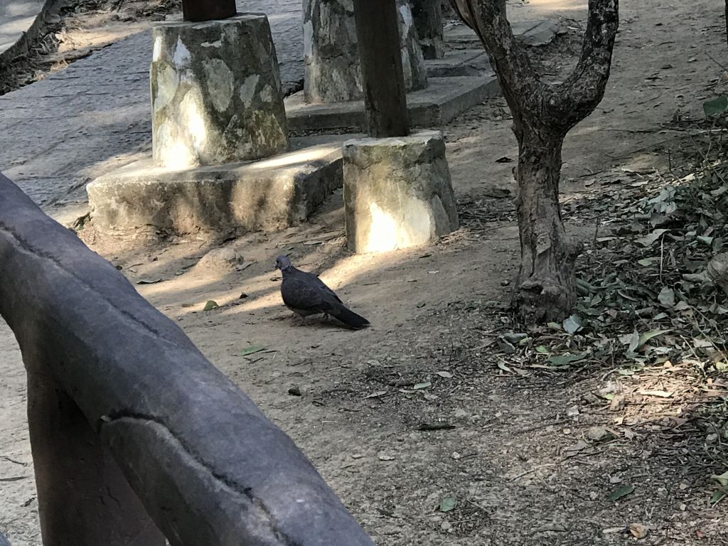
| Even pigeons are attracted here. |
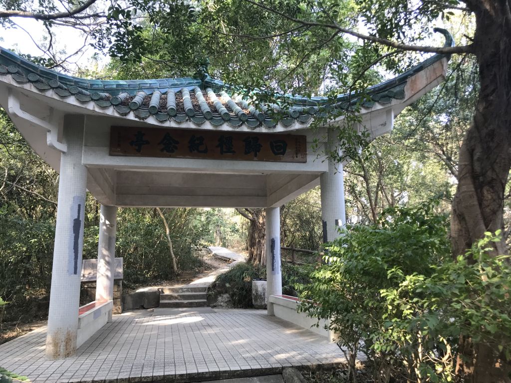
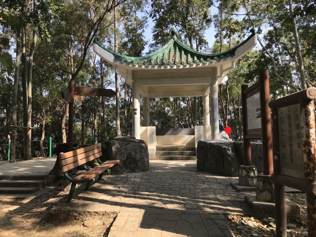
| Came to the first pavilion, called
the Return Trail Memorial Pavilion. There are several
pavilions like this on the Tsing Yi Nature Trail. |
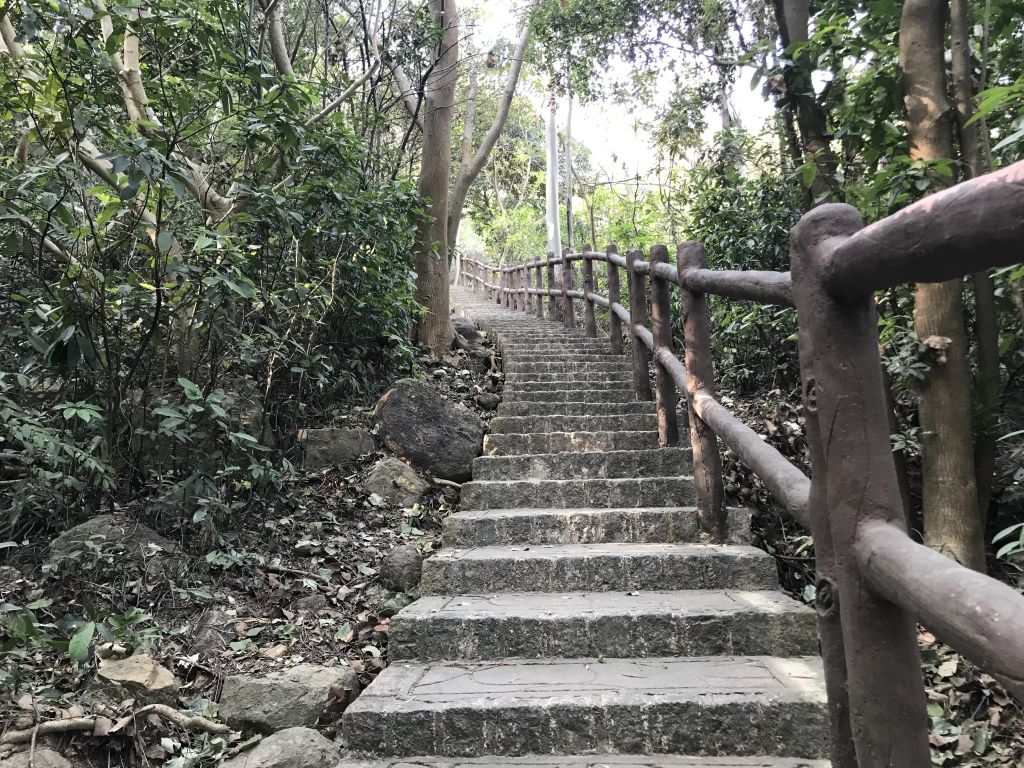
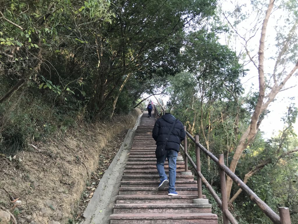
| Climb up the stairs, with the
shade, not afraid of the sun. |
|
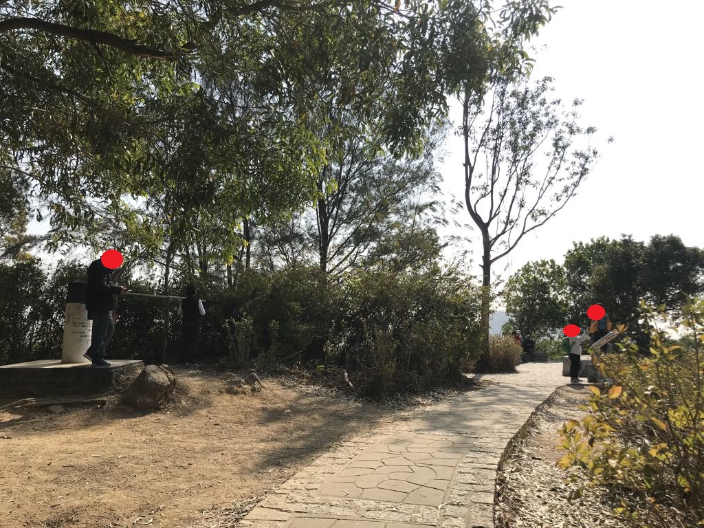
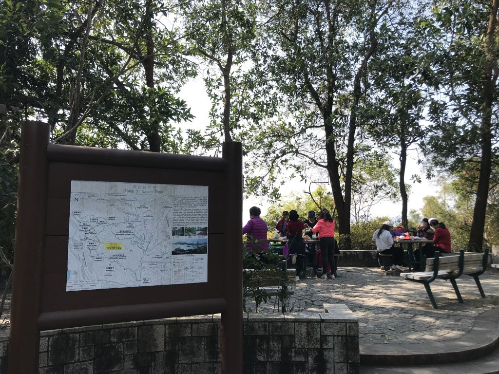
The second viewing pavilion is called No. 3 viewing
pavilion. The area around the pavilion is wide and many
people will do sports here. Then follow the signs to the
Picnic Area No. 2. |
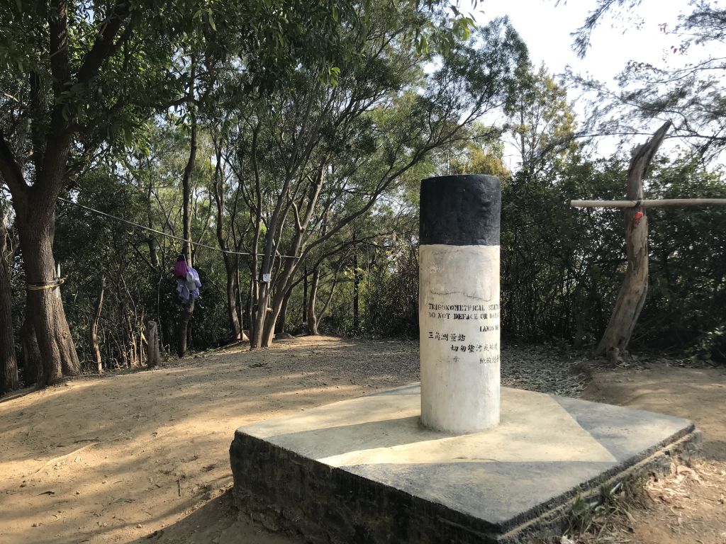
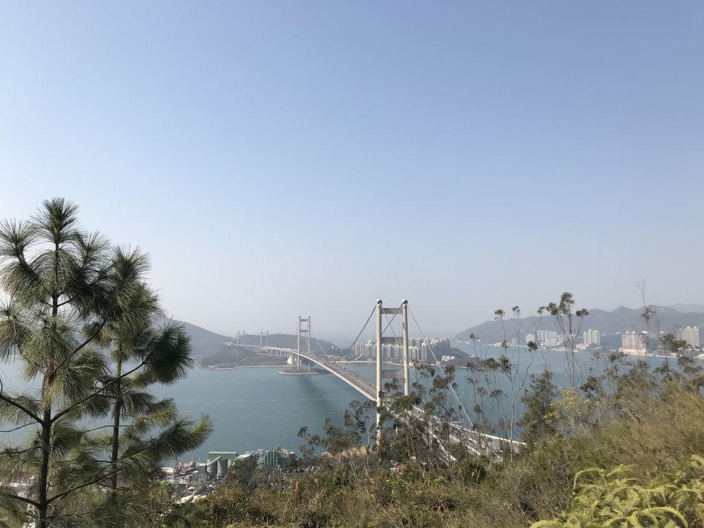
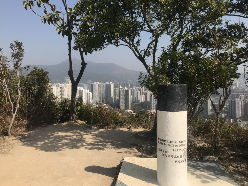
| After seeing this Trigonometrical
Station, it means that we have reached the highest point.
Picnic area No. 2 is just ahead. This is a very popular
shoot location on the Tsing Yi Nature Trail. |
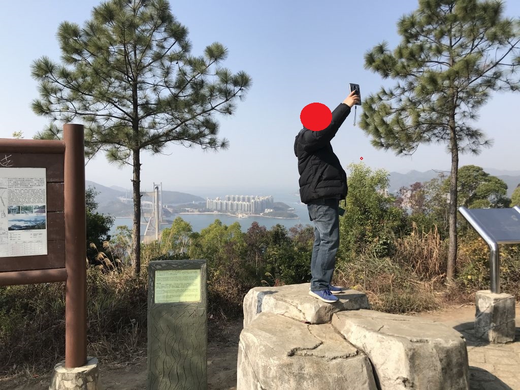
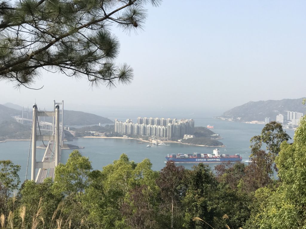
| Many people like to stand on this
rock and take photos with the Tsing Ma Bridge as the
background. |
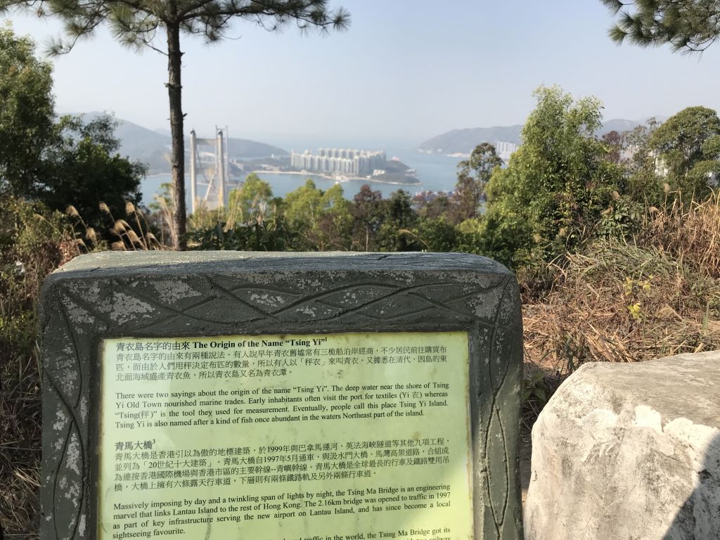
| Tsing Ma Bridge is a bridge in Hong
Kong. It is the world's 14th-longest span suspension bridge,
and was the second longest at time of completion. The bridge
was named after the two islands it connects, namely Tsing Yi
and Ma Wan. It has two decks and carries both road and rail
traffic, which also makes it the largest suspension bridge
of this type. |
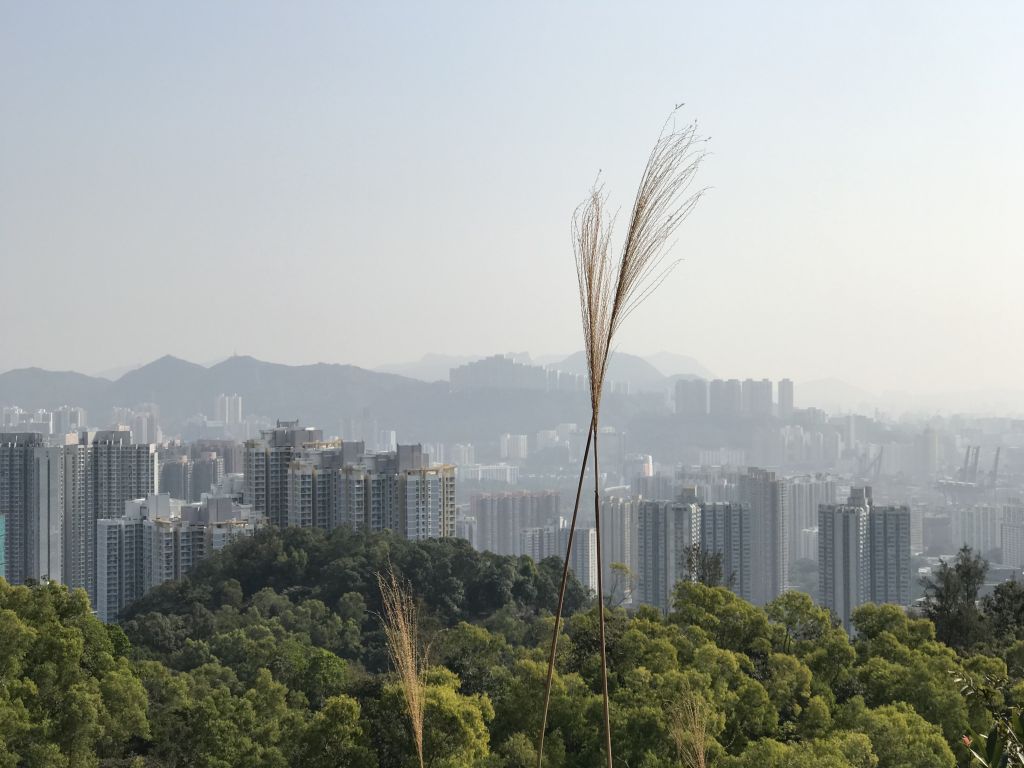
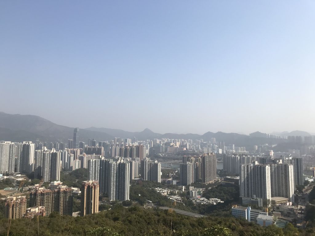
| The other side is Tsing Yi urban
area. |
| There are also many people who
choose to enter from the south entrance, but I think it will
be more difficult to enter from the south entrance than the
north. |
| After passing the Picnic Area No.
2, notice that there is a bifurcation on the right hand side
of the road. |
| The Tsing Ma Bridge was in front of
him, but his vision was somewhat blocked. |
| Picnic area No. 1. Although it is
under the epidemic situation, some people still gather for
eating. |
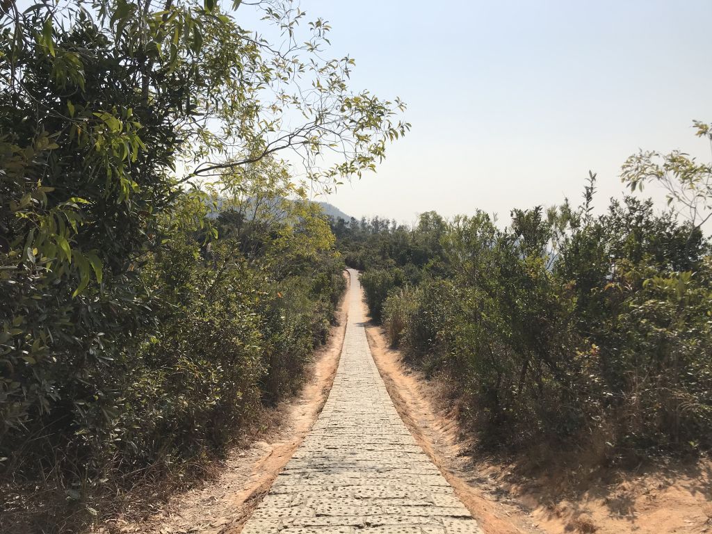
| This long stone road is also one of
the popular shoot locations. |
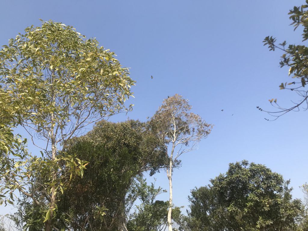
| There are many butterflies in this
place. |
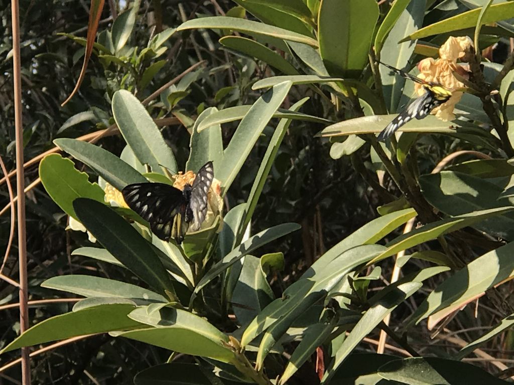
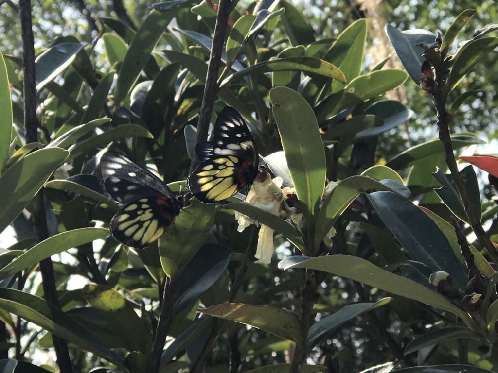
| The butterfly is sucking nectar. |
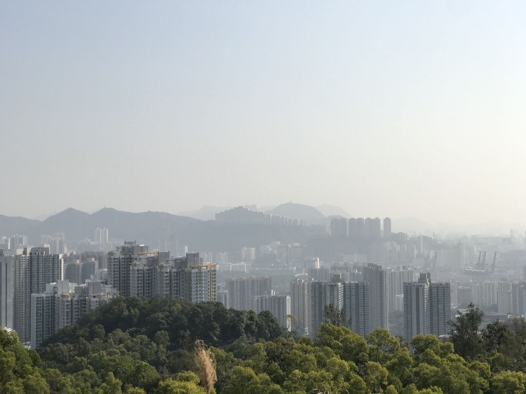
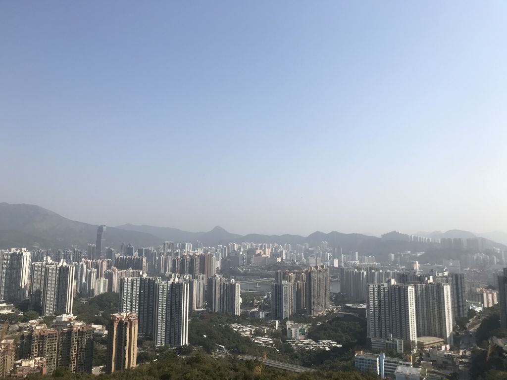
| Coming to the second
Trigonometrical Station, you can get a closer view of the
city view of Tsing Yi. |
| There is a long stone road next,
but fortunately it is down the mountain. |
| The south entrance of Tsing Yi
Nature Trail. |
After exiting from the south
entrance, walk north to the bus stop. There are many buses
to go back to the Tsing Yi MTR station.
This trip takes about 2 hours, is
simple and easy, and the transportation is convenient.
CCT-MAX
02/02/2021 |
|